Geography
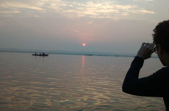
Varanasi, a small, vibrant city mostly noted for its old, religious and traditional culture. Varanasi is located at an elevation of 80.71 metres (264.8 ft) in the centre of the Ganges valley of North India, in the Eastern part of the state of Uttar Pradesh. Varanasi adopts a beautiful crescent shape along the river banks. Varanasi is quite close to two of the most important cities of Uttar Pradesh.
Varanasi is situated about 800 km south-east direction of Delhi, 320 km south-east direction of Lucknow and 121 km east direction of Allahabad and approx 63 Km south direction of Jaunpur. The 7 urban sub-units agglomeration, ‘Varanasi Urban Agglomeration’ covers about 112.26 km.
This establishment of Varanasi district extends in-between 82° 56’E – 83° 03’E and 25° 14’N – 25° 23.5’N. the neighboring places to this city includes Lanka Manduadih, Gautam Nagar, Bachchhaon, Gandhinagar, Dumraon, Nagwar, Anandbagh, Shivala, Bhelpura, Maheshpur, Mahmoorganj, Giri Nagar, Gopal Vihar, Khanna, Luxa, BangaliTola, Chowk, Bulanala, Siddhagiribagh, Maulvibagh, Sigra, Naipokhari, Chaitganj, Guru Nanak Nagar, Kailgarh, Chaukaghat, Dhupchandi, Jaitpura, Kotwali and Adampura.
This is a highly fertile land present in Indo-Gangetic Plains and receives low floods from Ganges. To the south of Rajghat plateau, a high ridge continues along the Ganges which is broken only by the entry of small streams. Gradually the city expanded along this ridge and spread out to the west behind it.
Climate
Varanasi, a small, vibrant city mostly noted for its old, religious and traditional culture. Varanasi is located at an elevation of 80.71 metres (264.8 ft) in the centre of the Ganges valley of North India, in the Eastern part of the state of Uttar Pradesh. Varanasi adopts a beautiful crescent shape along the river banks. Varanasi is quite close to two of the most important cities of Uttar Pradesh.
Varanasi is situated about 800 km south-east direction of Delhi, 320 km south-east direction of Lucknow and 121 km east direction of Allahabad and approx 63 Km south direction of Jaunpur. The 7 urban sub-units agglomeration, ‘Varanasi Urban Agglomeration’ covers about 112.26 km.
This establishment of Varanasi district extends in-between 82° 56’E – 83° 03’E and 25° 14’N – 25° 23.5’N. the neighboring places to this city includes Lanka Manduadih, Gautam Nagar, Bachchhaon, Gandhinagar, Dumraon, Nagwar, Anandbagh, Shivala, Bhelpura, Maheshpur, Mahmoorganj, Giri Nagar, Gopal Vihar, Khanna, Luxa, BangaliTola, Chowk, Bulanala, Siddhagiribagh, Maulvibagh, Sigra, Naipokhari, Chaitganj, Guru Nanak Nagar, Kailgarh, Chaukaghat, Dhupchandi, Jaitpura, Kotwali and Adampura.
This is a highly fertile land present in Indo-Gangetic Plains and receives low floods from Ganges. To the south of Rajghat plateau, a high ridge continues along the Ganges which is broken only by the entry of small streams. Gradually the city expanded along this ridge and spread out to the west behind it.
